
Revegetation project
We have set ourselves the goal of reclaiming land, revegetating a rare spring fed waterhole and reconnecting the land to its traditional custodians.
We Acknowledge Country. It is a significant area for different language groups including the Kaurna, Peramangk and Ngarrindjeri people.
Biodiversity plan
Three step plan 2022-2024.
PURPLE AREA. Undertake woody weed control to clean up the swamp land of blackberry.
To do this we need labour help to clear the blackberry away.
LIGHT BLUE AREA. Revegetation of the woodlot with native trees and thin the non-native trees.
We need to find appropriate local provenance native species to plant in this area. This requires time, capital and labour force.
Re-use of the felled timber for cultural projects may also be possible.
Learning about the Indigenous aspect of the property.
Further phases are planned to establish corridors that in the long term, ideally link up to Forestry land.
Background & Timeline: The locality of Dingabledinga name is supposed to be derived from an Aboriginal name meaning "water everywhere". During summer it was used as a meeting place, and a food and water source. Plants that grew in the wetland were collected and traded for use as fishing spears, medicines and many other uses.
At European settlement a few farms were established in Dingabledinga (DeCaux family). Major land clearing and settlement began c. 1900. later in the 1930’s there was an effort to set up market gardens and farmlets at Hope Forest and Montarra as a form of social welfare.
On the Meadows floodplain many of the large trees where not cleared, grazing based farming went on around them, and have survived to the present. These have signs of scars for use of waypoint markings, or for tools. Some have been used as campsites, where branches would have been constructed around the tree to make a house for the season.
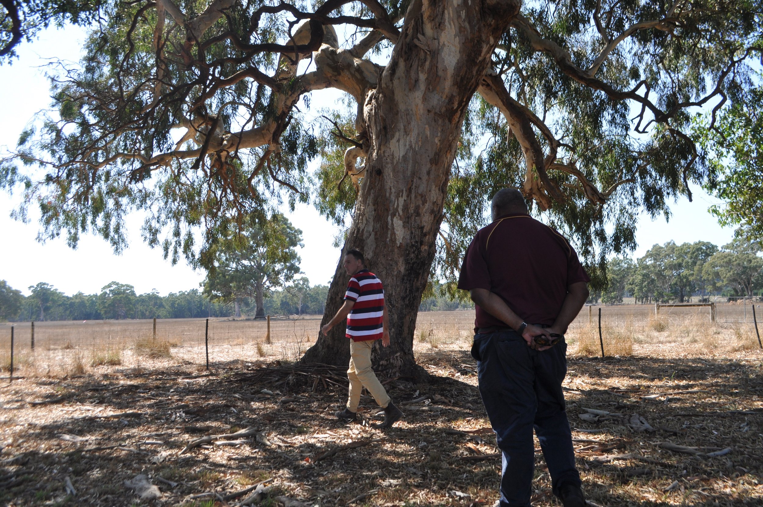
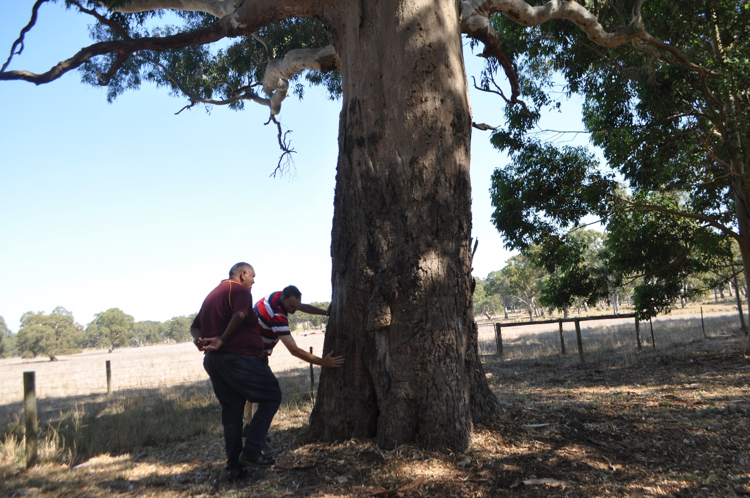
Above: River red gums c. 200-400 years old.
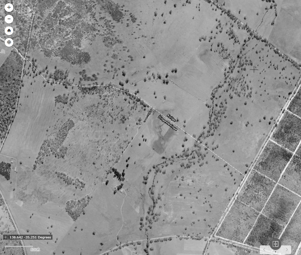
Meadows Creek valley at Dingabledinga - 1949.
Aerial image analysis of 1949 shows the general Dingabledinga region / Meadows Creek valley has been cleared for farm animal husbandry. There are remnant trees (generally all River Red Gum in the Meadows Creek flooplain), there is minimal or nil understory and the wetland (centre of image) is barren of trees and open to stock grazing. The Kuitpo Forest plantation can be seen lower left of image.
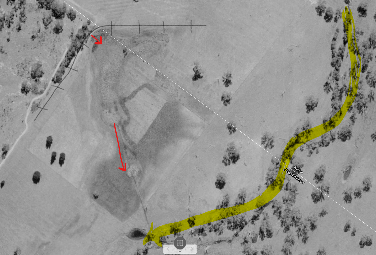
Detail of the wetland - 1949.
The 1949 image appears to be taken in summer as there is no flow down Meadows Creek. The black line shows a natural ridgeline, red shows the source of the spring and the direction of drainage, yellow shows the flow of Meadows Creek.
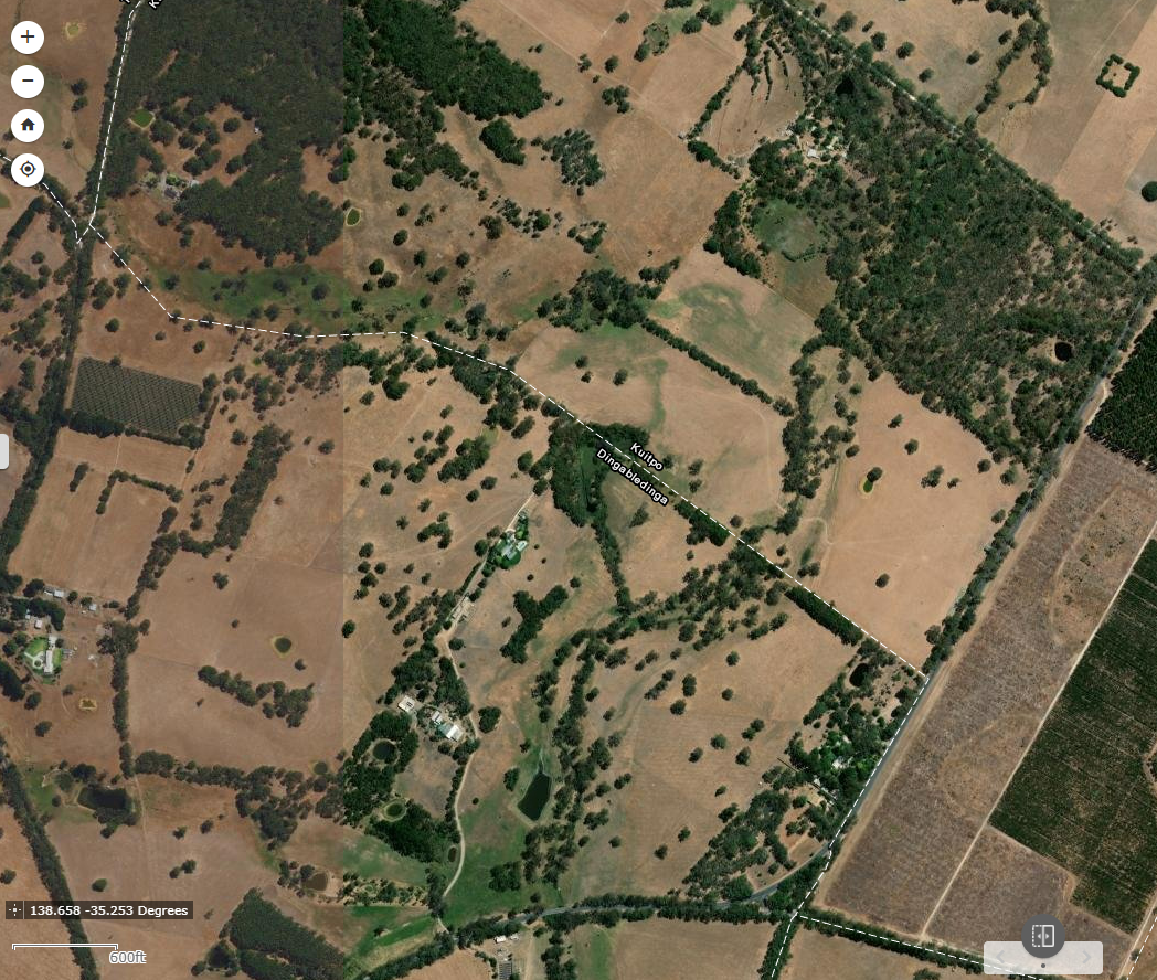
Meadows Creek valley at Dingabledinga - 2020.
The area is west of Kyeema Conservation Park by approximately 2 kilometres and immediately borders Kuitpo Forest plantation both of which are administered by the State government. Brookman Rd is also administered by the state government (DPTI).
During the 1990’s the wetland was fenced off preventing grazing and was re-planted with local species by the landholders. This complimented the remnant and rehabilitated native vegetation on private land. Unfortunately, the wetland does have infestations of blackberry choking some of the vegetation - below.
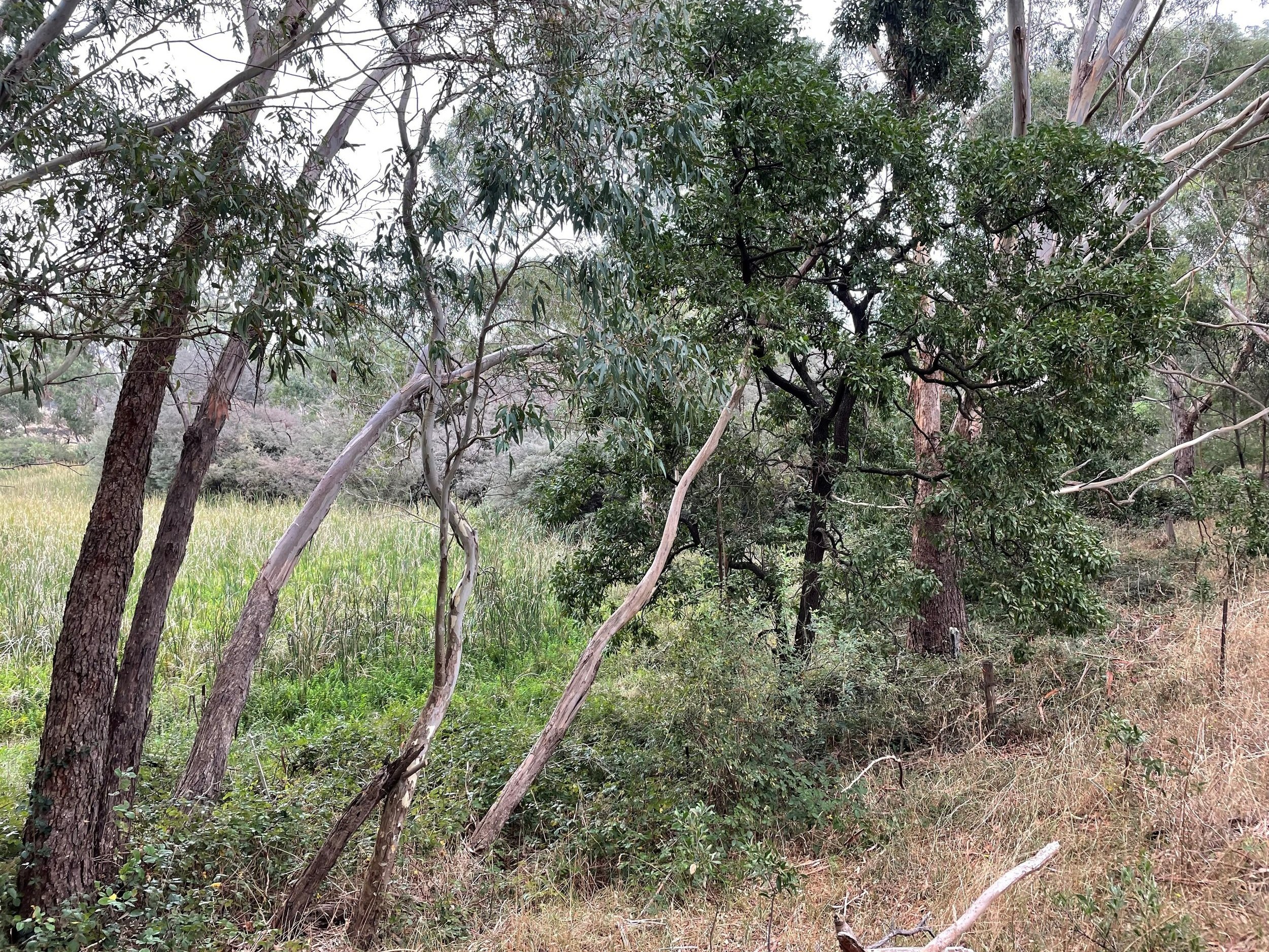
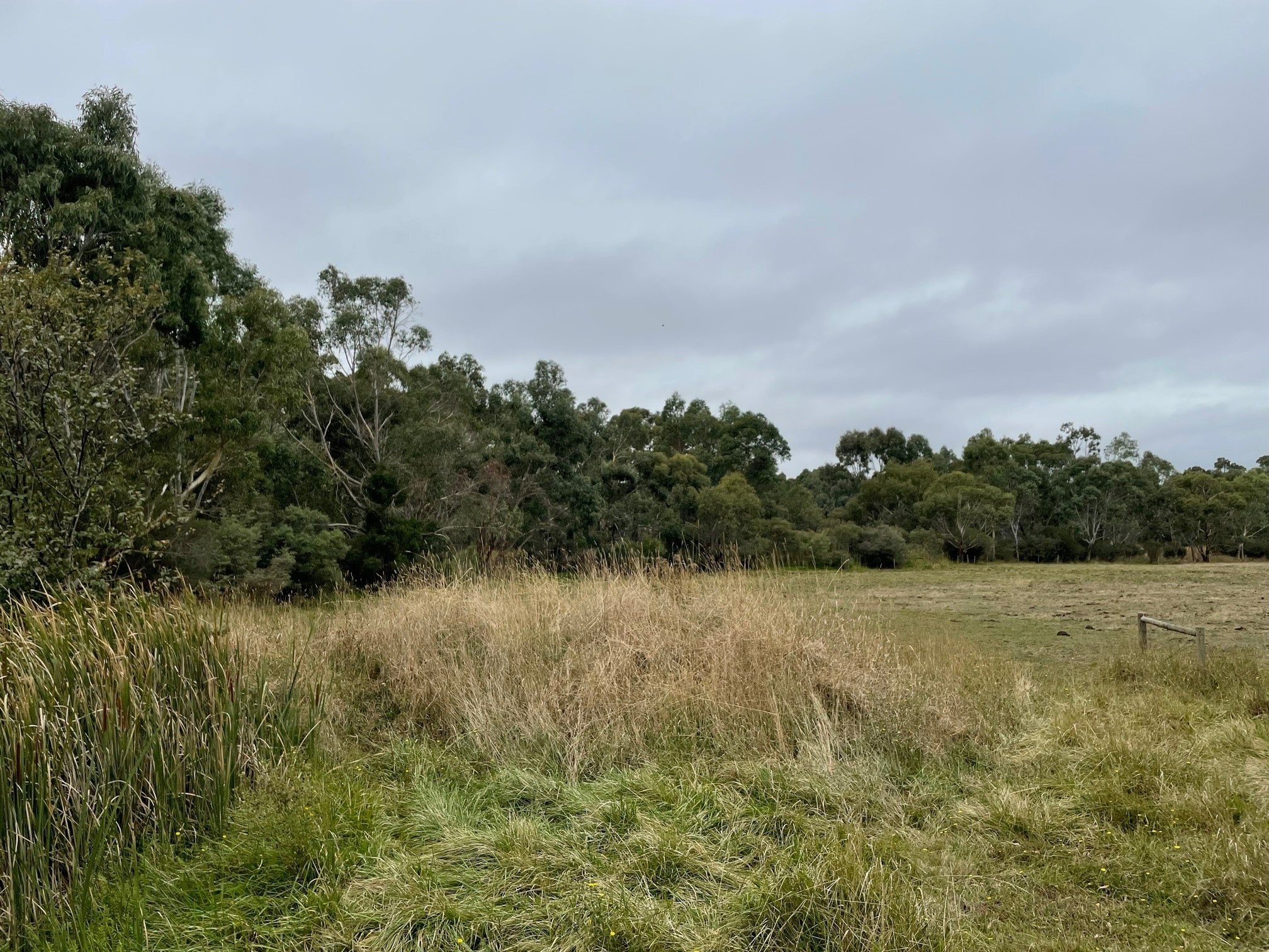
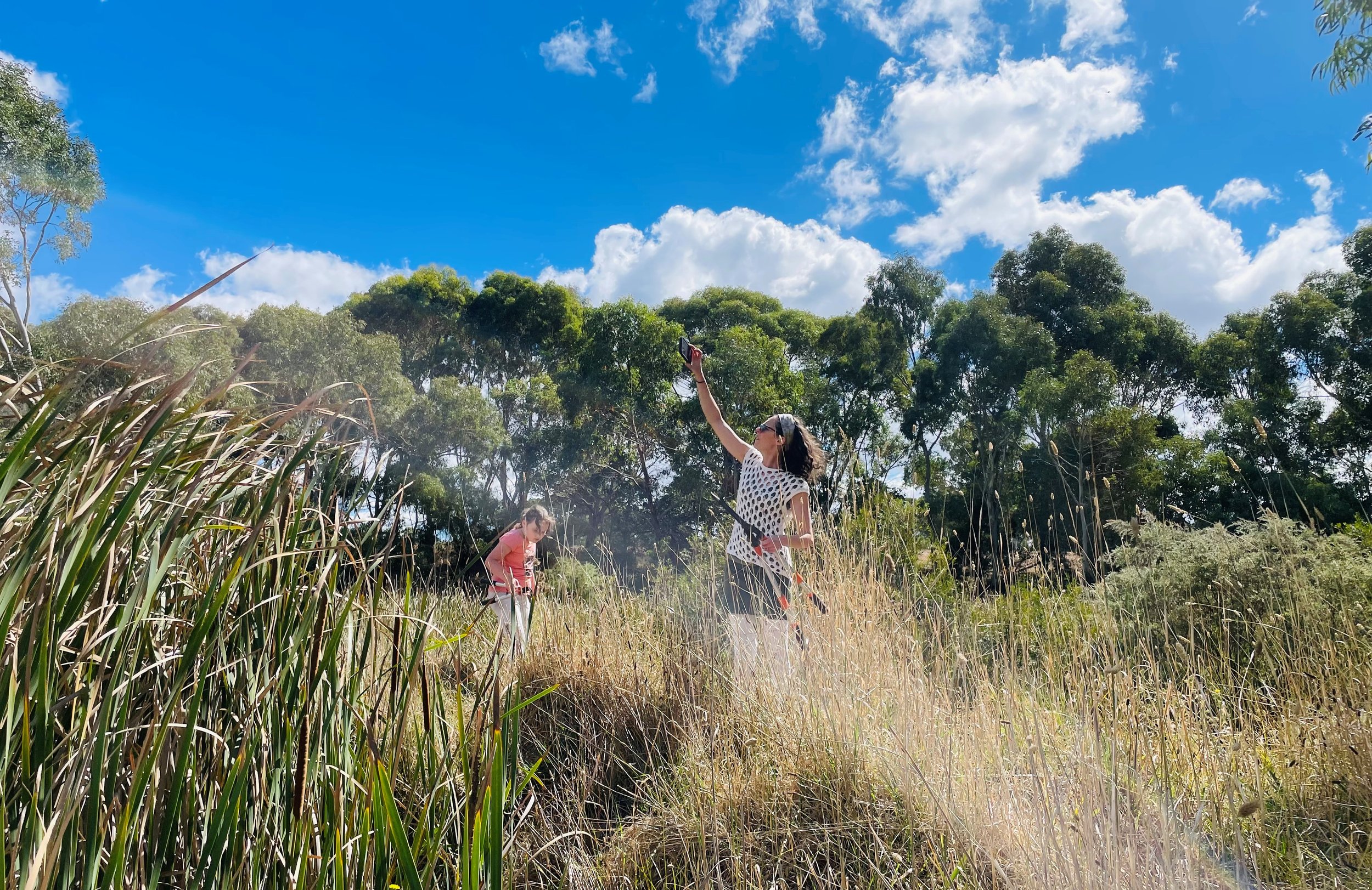
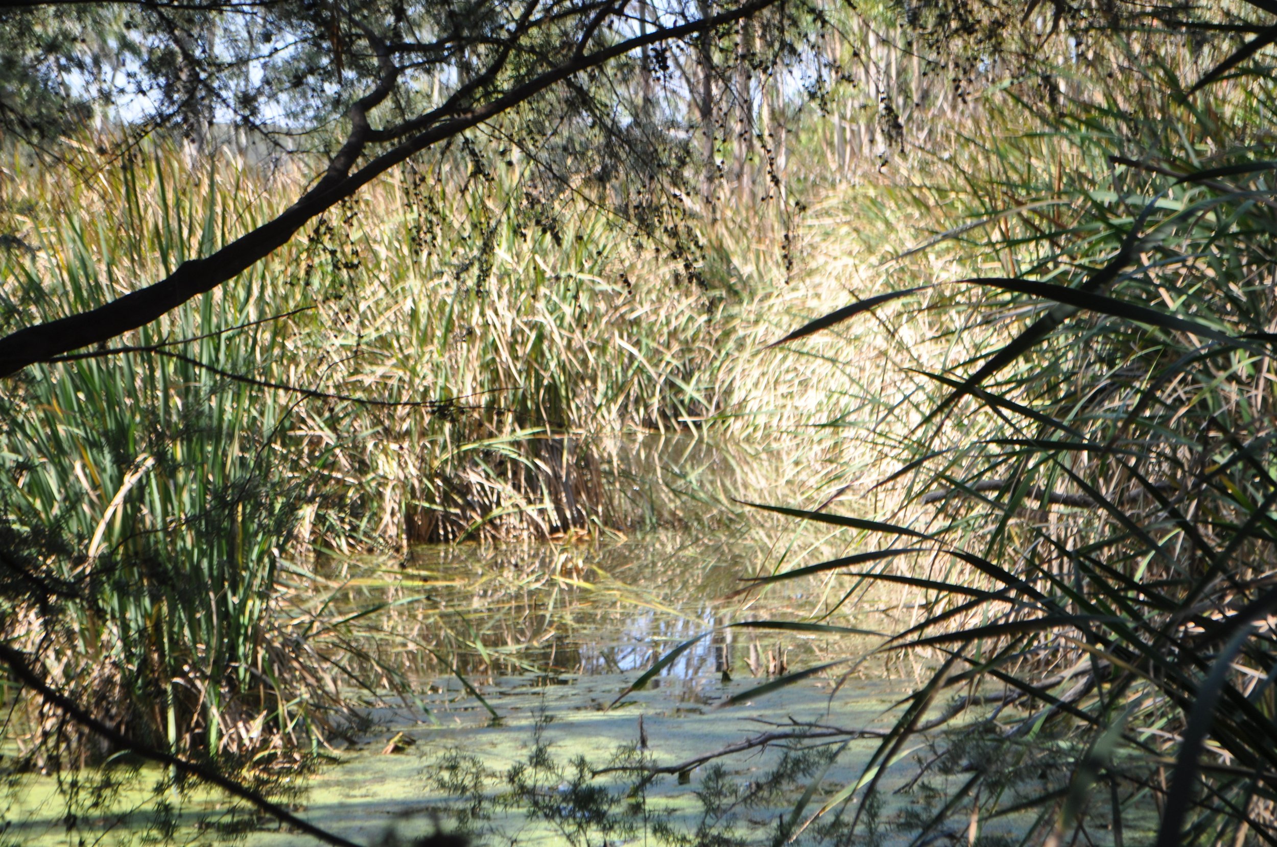
Above: The wetland in 2022. It has a three lobed pool of water with reedbeds. Parts are in good condition, but other sections choked with blackberry.

Land titles. A, B & C.
The wetland is on three different land titles and is shared between us (C = Lazy Ballerina) and our neighbours (A & B) - Above.
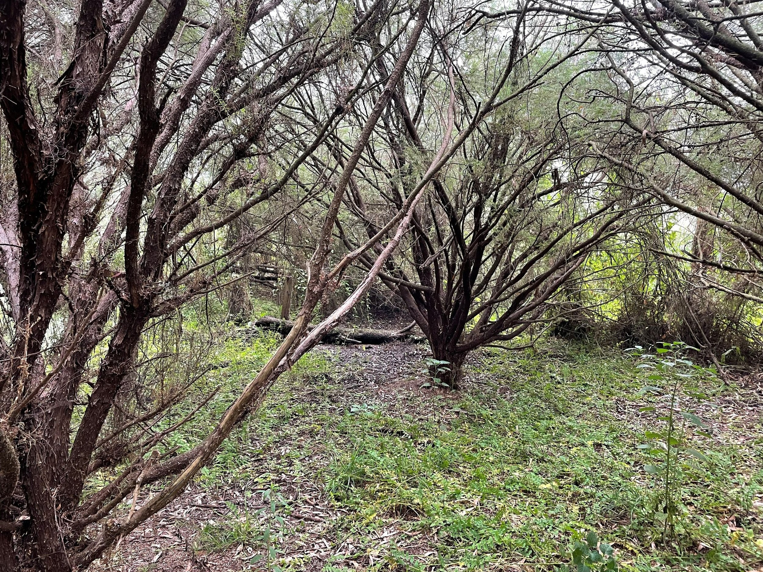
A plantation of what is believed to be Rose Gum (Eucalyptus grandis) was close planted as a woodlot on Title C – wavy line pictured above. It is our plan to thin these tree and convert the woodlot into a vegetation corridor by adding a native mid story. There are large River Red Gums in the woodlot also.

Woodlot non-native gum trees.